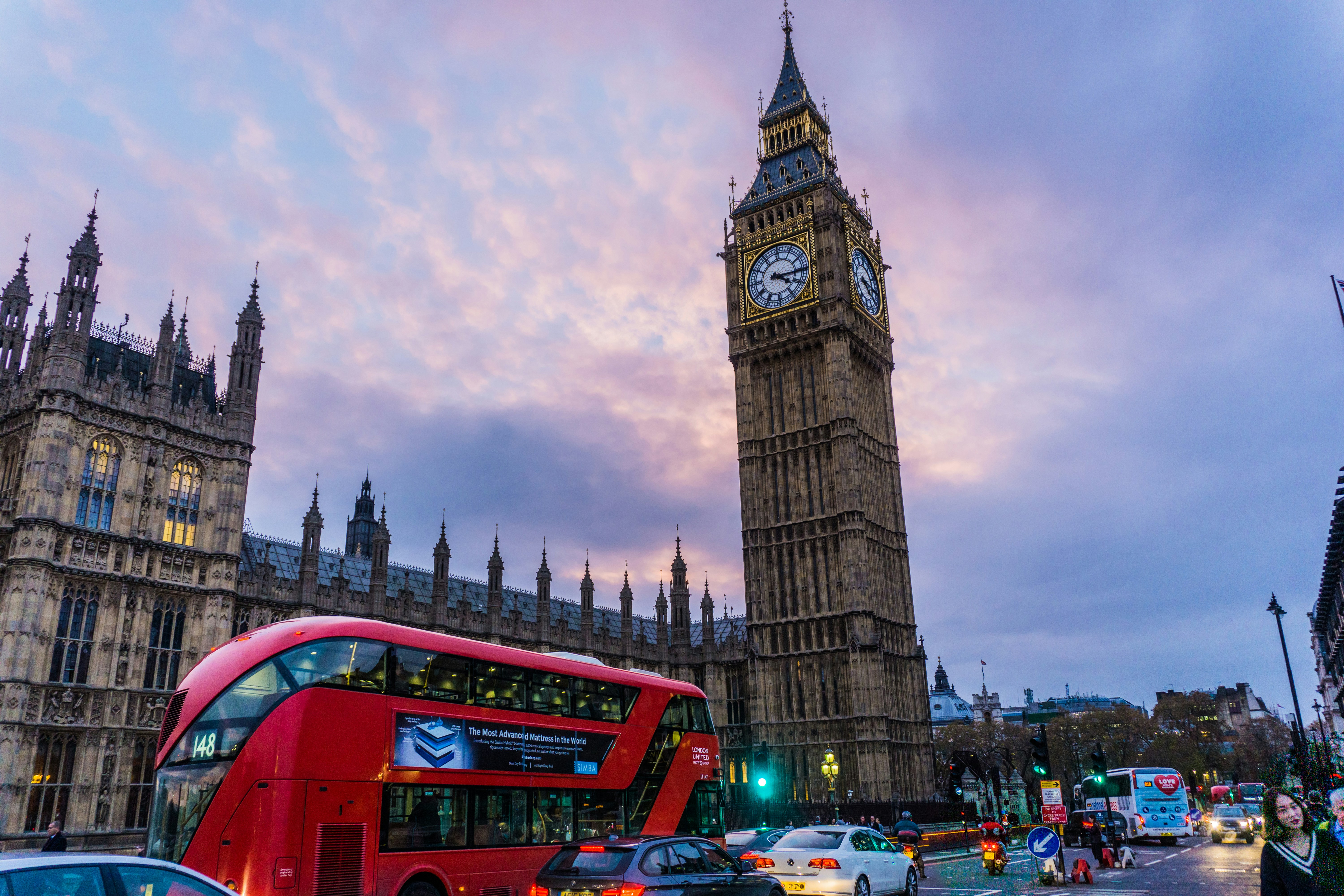
You Saved 80 London Food TikToks. You Still Ended Up at a £28 Burger in Soho.
It's 7:42pm on Dean Street. Your phone has 80-something saved food TikToks. You open Maps. You pick the 4.2-star burger spot on the corner. The bill is £74.
That's the gap. The London you watched online and the London you actually ate in are two different cities.
The saves aren't broken. The plan is. There's no surface that turns 80 vertical videos into a route — so you default to whatever's within 200 metres of your hotel.
That's how cheap authentic food neighborhoods London locals love stay invisible to the people who flew in to eat them.
Why Do Most London Food Bucket Lists End Up at Tourist Traps?
Most London food bucket lists end up at tourist traps because they treat the city as a flat list of restaurants when London food is hyper-local. The city has 32 boroughs, and the food worth flying for is spread across at least 8 of them — almost none of the best ones in Zone 1.
But Zone 1 is where your hotel is. Zone 1 is where Google Maps centres itself when you open the app. Zone 1 is where the algorithm sends you when you type "best food near me."
So Soho, Covent Garden, and Shoreditch eat 80% of the tourist meal traffic, despite being the three areas where most actual Londoners have stopped eating.
Then the saves problem layers on top. A TikTok save has no neighborhood tag. No transit time. No cluster. You can have eight Peckham bakery saves and never realise they're walkable from the same Overground stop.
The old playbook was: read a listicle, pick a restaurant, take the Tube. That playbook worked when there were 30 spots worth knowing about. Now there are 800. The unit of decision has to change.
It's not a restaurant problem. It's a clustering problem.
Why Do Trip Planning Tools Fail to Surface Cheap Authentic Food Neighborhoods in London?
Trip planning tools fail because they're built to list restaurants, not cluster neighborhoods. Google Maps shows ratings without local-versus-tourist ratios, TripAdvisor rewards PR budgets, and your saved TikToks live in a black hole with no neighborhood tag — none of them know that Peckham and Tooting are 50 minutes apart on a good day.
Look at the tools you actually used to plan your last trip.
Google Maps shows you ratings. It doesn't show you the ratio of locals to tourists in the dining room. A 4.6 in Covent Garden and a 4.6 in Tooting are two completely different products.
TripAdvisor and "50 best restaurants in London" listicles are gamed. Central restaurants with PR budgets dominate them. The ranking is a function of marketing spend, not whether anyone in Hackney would eat there twice.
Your saved TikToks live in a black hole. No export. No map view. No way to group them by area. The save button is a dopamine release, not a planning tool.
Notion docs and Google Sheets don't know that Peckham and Tooting are 50 minutes apart on a good day. They'll happily let you put both on a Tuesday.
Even the food-logging apps — Beli, Resy lists, the rest — let you tag a restaurant but not route a day around one. They treat a trip as a collection of meals, not a sequence of neighborhoods.
This matters because the planning surface decides the trip. If your tool only knows how to list, you'll list-eat. If your tool can cluster, you'll neighborhood-eat. The output looks completely different.
The failure isn't your taste. It's the surface you're using to express it.
The Shift: Travelers Are Done With Landmark Restaurants
In 2018, the flex was a reservation at Sketch. In 2026, the flex is a photo of a Turkish grill on Kingsland Road that the cab driver told you about.
The 24-38 traveler doesn't plan trips around Michelin stars. They plan around food creators — the ones who shoot vertical, eat alone, and never go central.
TikTok and Instagram have done what guidebooks never could. They've made Peckham, Tooting, and Walthamstow more visible to a New York 28-year-old than they are to a Chelsea 50-year-old.
The behavioural shift is real and it's already priced in. Outer-zone restaurants are seeing booked-out Saturdays from visitors who would have never crossed the river five years ago.
What hasn't caught up is the planning layer. Inspiration moved. Itineraries didn't.
The creator-economy shift broke discovery. The next shift is going to break planning.
AI is what does it. Not because it'll write a better listicle. Because it can finally do the thing a spreadsheet can't: turn a messy folder of saves into a real route through a real city.
How Does AI Solve the TikTok-to-Itinerary Problem?
AI solves it by extracting structure from messy saves and clustering them by neighborhood — the one thing a list can't do. Vertical videos get parsed for restaurant names, cuisines, and vibes, then grouped by how a Londoner would actually move through the city in a day.
Here's the mechanical version of what AI does that nothing before could.
Step 1: Ingest the mess. A folder of saved videos, screenshots, shared links, voice notes from a friend. The unit isn't a restaurant name — it's whatever format the inspiration arrived in.
Step 2: Extract structure. Restaurant name, neighborhood, cuisine, vibe, price band. The thing TikTok strips out, the model puts back.
Step 3: Cluster by area. Not by cuisine. Not by rating. By how a Londoner would actually move through the city in a day.
Step 4: Match neighborhoods to days. Tooting's best on a Sunday because the market's on. Walthamstow's better Tuesday-Saturday. Peckham's a Friday night. The model knows this; your Google Sheet doesn't.
Step 5: Flag the trap saves. The Soho "viral burger" with 4.2 stars and a 90% tourist comment ratio gets surfaced — and demoted. The inverse of what Google does to you.
The output isn't a list. It's a route. That's the category change — and it's the messy-input-to-real-route shift that AI travel planning voices have been arguing was coming for years.
How Does Roamee Turn TikTok Saves Into a Neighborhood Itinerary?
Roamee handles the AI itinerary generation: you dump your TikTok saves, screenshots, and shared links in one place, and it returns a neighborhood-clustered route — Peckham on Friday, Tooting on Sunday, Walthamstow tied to the market day. We've been building Roamee around this exact gap. Your saves stop being a graveyard. They start being a route.
What Does a 5-Day London Food Itinerary by Neighborhood Look Like?
A 5-day London food itinerary by neighborhood looks like one neighborhood per day, anchored around a market or main strip. Same 80 saves, restructured around how the Tube actually rewards movement.
The saves break down roughly like this: 22 Peckham bakeries, wine bars, and West African spots. 18 Dalston Turkish grills and Hackney small plates. 12 Tooting South Indian and Sri Lankan. 14 Walthamstow Caribbean, pizza, and market stalls. 14 Stoke Newington brunch and Keralan.
Now clustered into days.
Day 1 — Peckham. Persepolis for the pantry-shop-into-Persian-deli energy. Kudu for South African mid-range. Forza Wine for the sunset rooftop. Walk Rye Lane between them. One Overground stop in and out.
Day 2 — Dalston and Hackney. Mangal 2 on Stoke Newington Road for the original ocakbasi. Brawn on Columbia Road for the small plates. Berber & Q for the long lunch. Ridley Road Market between meals if you've got the appetite.
Day 3 — Tooting. Apollo Banana Leaf for the dosa most central Indian restaurants can't touch at twice the price. Lahore Karahi for the Pakistani grill. Tooting Market for snacks and a drink. The whole day costs less than one Soho dinner.
Day 4 — Walthamstow. Yard Sale Pizza for the slice. Eat 17 for the modern British. Walthamstow Market — Europe's longest street market — for the actual local crowd. Wood Street for vintage between meals.
Day 5 — Stoke Newington Church Street. Rasa for the Keralan vegetarian. Esters for brunch. Yard Sale again because you'll want it again. Indie bookshops and bars in between.
Each neighborhood is its own day because the Tube doesn't reward crisscrossing. Peckham and Walthamstow are 75 minutes apart on a Saturday. Try to do both and you've eaten one meal and ridden three trains.
One neighborhood, one day. That's the unit.
The Future of Travel Planning Is Local, Not Landmark
The next decade of travel planning is creator-driven and neighborhood-first. Landmark-driven is the old playbook.
Expect a few specific things to land in the next 18 months.
AI will start scoring restaurants by locals-vs-tourists ratios pulled from review language. "Came on holiday" vs "came after work" is a measurable signal. Nobody's exposing it yet. Someone will.
Itineraries will be assembled from your saves, not from a generic top-10. The input shifts from editorial to personal.
And the unit of a city guide will become a neighborhood, not a restaurant. London is the obvious test case because of its scale. Tokyo, Mexico City, and Lisbon are next — same pattern, different cuisines.
Treat your trip planning the way you used to treat your music playlists. You stopped buying albums. You started building routes through what you actually loved.
The Real Takeaway
Your saves aren't the problem. Your planning surface is.
The neighborhoods are the unit of a London food trip. Not the individual restaurants. Not the listicles. Not the star ratings.
If you're not eating outside Zone 1, you're not eating in London. You're eating in the version of London that exists for people who don't live there.
Stop curating. Start clustering.
London Food Trip FAQ
What are the best non-touristy neighborhoods in London for food?
Five: Peckham, Dalston/Hackney, Tooting, Walthamstow, and Stoke Newington's Church Street. Peckham is West African and natural wine, Dalston is Turkish ocakbasi, Tooting is South Indian and Sri Lankan, Walthamstow is Caribbean and market food, Stoke Newington is Keralan and brunch. All sit in Zone 2-3, reachable on the Overground or Northern/Victoria line.
Where do Londoners actually go out to eat?
Near where they live, which means outer zones, not Soho. The patterns are clear: Turkish ocakbasi up Kingsland Road in Dalston, South Indian in Tooting, Caribbean and Eastern European in Walthamstow, West African and natural wine in Peckham. The genuine local anchors are the markets — Brixton, Walthamstow, Ridley Road — not the central restaurant strips.
What makes Peckham a top food destination for locals?
Diaspora density layered with a wave of independent wine bars and bakeries opened by ex-Maltby Street chefs. West African and Caribbean roots meet Persepolis, Kudu, Forza Wine, and Levan, with prices staying cheap-to-mid because rents are still lower than central. Rye Lane is the spine of the scene — walk it end to end and you've eaten three meals.
Where should you eat in Dalston and Hackney instead of Shoreditch?
Shoreditch has become a chain-and-tourist zone, while Dalston and Hackney still hold the original energy. Hit Mangal 2 and the Kingsland Road Turkish strip for grills, Berber & Q for long lunches, Brawn for natural wine and small plates, Andu Cafe for Ethiopian, and Ridley Road Market for produce and street eats between meals. Treat Shoreditch as a pass-through, not a destination.
What can you eat in Tooting that you cannot find in central London?
Some of the best South Indian and Sri Lankan food in the UK, at a third of central prices — Apollo Banana Leaf and Lahore Karahi are the headline acts, with Dosa n Chutny and Chick 'n' Sours rounding out the day. Tooting Market handles snacks, drinks, and a crowd that's there because they live there. Central London simply does not have a Tooting equivalent.
How is Walthamstow's food scene different from East London hotspots?
Less hyped, more residential — the food serves locals first and visitors second, the inverse of Shoreditch. Expect Eastern European bakeries, Caribbean takeaways, Yard Sale Pizza, and Eat 17 for modern British, anchored by Walthamstow Market (Europe's longest street market) and Wood Street's vintage shops between meals. Saturday is the day to go.
Why is Church Street in Stoke Newington worth a dedicated trip?
It's walkable, dense, and almost tourist-free — Rasa for Keralan vegetarian, Esters for brunch, Yard Sale for pizza, and indie bookshops and bars in between. It works best as a half-day add-on if you're already in Dalston, since the two neighborhoods sit one bus ride apart and pair into a strong food-and-walk day.
How should you structure a 4 to 7 day London food itinerary by neighborhood?
Rule of thumb: one neighborhood per day, because the Tube punishes anything else. Four days covers Peckham, Dalston, Tooting, and Walthamstow; a 5-7 day london food itinerary adds Stoke Newington Church Street, Brixton, and one central market day at Borough or Maltby. Anchor each day around a market or main strip, then build two or three stops within walking distance.
How do you avoid overpriced tourist restaurants in London?
Leave Zone 1 for sightseeing only, not for meals. Skip anywhere with a host outside trying to pull you in. Use Overground stops as your food map: Peckham Rye, Dalston Kingsland, Walthamstow Central, Hackney Central. Trust creator saves over Google's top results — the ranking system rewards marketing spend, not the dining room.
What is the best way to turn TikTok food saves into a real London trip plan?
First, get the saves out of the app — screenshot, export, dump into one place. Second, group by neighborhood before grouping by cuisine. Third, use an AI trip planner to cluster, route, and time them against opening hours and market days. Roamee is built for this exact flow, but the principle stands regardless of tool: neighborhood is the unit, not the restaurant.